As Part of Jefferson Project, Surveying Efforts Resume at Lake George
0A three-year study of Lake George will resume this week with aerial and boat-based surveying efforts, according to a release from the Rensselaer Polytechnic Institute (RPI). The study began last fall as part of the Jefferson Project.
The project is a collaboration between the institute, IBM and the Fund for Lake George, and was started to study things affecting the lake today, like road salt levels, stormwater runoff and the rise of invasive species. It is named for Thomas Jefferson, who was a noted admirer of Lake George’s beauty in his time.

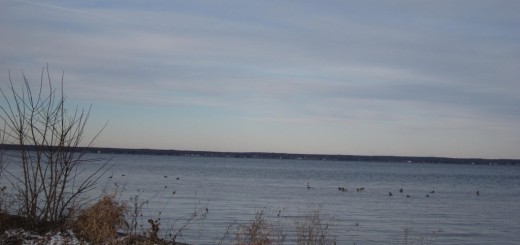
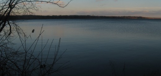
Lake George in the Adirondack Mountains. (Credit: Wikimedia Commons User Jonathanking via Creative Commons)
The aerial survey is expected to take place over the span of two days, utilizing low-flying aircraft that will go back and forth in repetitive flight patterns. The plane will be equipped with cameras to take images of the lake’s bed and shoreline, which will be used to create high-resolution contour maps.
The maps will inform circulation models of the lake, helping researchers understand how water, nutrients and invasive species move through the lake and its watershed.

IBM Research Scientist Harry Kolar (right), Sandra Nierzwicki-Bauer of the RPI Darrin Fresh Water Institute (center) and Eric Siy from The FUND to Save Lake George scout locations for new sensors which will be part of a three-year, multi-million dollar collaboration between the partners to make Lake George the world’s “smartest” lake, Bolton Landing, NY. (Credit: Erin Reid Coker/Feature Photo Service for IBM)
Monitoring systems around the lake will also help scientists study its circulation systems. As part of the three-year project, weather modeling and sensor tech have been deployed around the water body. These are exploring currents, water chemistry and are being used in models to predict future lake health.