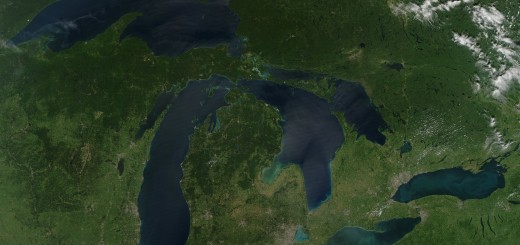
Researchers seek Great Lakes nearshore data
0
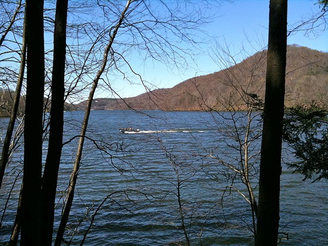
Two scientists are trying to fill the real-time data gap in the Great Lakes. Despite the fact most people don’t venture farther into the Great Lakes than the coastal zone, it is the least monitored region. That’s why researchers Guy Meadows and Steven Ruberg have been working to populate the nearshore area with real-time data buoys, as reported by the Great Lakes Echo.
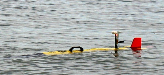
Meadows, director of the Marine Hydrodynamics Laboratories at the University of Michigan, uses buoys that utilize cellular telemetry to report readings to his website and the U.S. National Data Buoy Center at six-minute intervals. His buoys are primarily in Grand Traverse Bay and Little Traverse Bay. Ruberg, an observing systems researcher at the NOAA’s Great Lakes Environmental Research Laboratory in Ann Arbor, has placed his buoy network in Lakes Michigan, Erie, and Huron.
Their data buoys measure water and weather parameters that include barometric pressure, wind speed and direction, wave direction and height, water temperature, and algae. Algal levels in Lake Erie are especially critical, as Lake Erie has been hit the hardest by harmful algal blooms.
Meadows notes that government buoys are present in the lakes, but they are deeper into the central basins.
“They don’t tell what’s happening in the coastal zone, and most of the people live and play and work in the coastal zones,” he said in the article.
Both scientists have worked on gathering real-time nearshore data for about five years. The objective is to obtain a long-term historic data set, according to Meadows, in order to predict shifts in lake ecology and water quality.
Buoys can be encumbered by poor weather, bio-fouling, and other issues that can risk diminishing data accuracy, but Tom Consi, an associate scientist at the Great Lakes Water Institute in Milwaukee who has his own Great Lakes buoys, told the Echo they’re well worth it.
“You can get long-term continuous day and night data sets which are pretty much impossible to obtain by conventional means of humans going out into the lake on a boat,” he said. “You just don’t have access to a boat 24 hours a day and a person able to do that kind of sampling or measuring.”