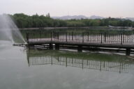
Findings released from five-year USGS study on water availability in the Great Lakes Basin
0
A five-year U.S. Geological Survey pilot study of water availability and use in the Great Lakes Basin recently concluded. According to the agency, the pilot project was part of a larger effort to produce a water availability and use assessment for the entire country, which would ultimately make it possible to forecast the balance between water supply and demand for economic and environmental considerations.
The pilot study’s findings were released earlier this week, and include the following:
- Overall there is an abundance of water in the region
- Groundwater is a major water source that is unevenly distributed across the basin, specifically on either side of Lake Michigan
- Water usage and levels, as well as stream flow and precipitation all vary temporally throughout the lakes
- Water use and development both have a relatively minor effect on regional water availability
- Regional-scale models can be used to address local groundwater issues
- Local-scale groundwater and surface water modeling were used to show that a single groundwater pumping operation can dry a stream during at least part of the year
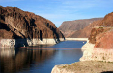
The Great Lakes constitute the largest freshwater system on the planet. However, according to Howard Reeves, USGS scientist and lead assessment author, local shortages can still occur as a result of uneven water distribution.
“In some areas, the physical quantity of water may be limiting, and water availability in most of the Great Lakes Basin will be determined by social decisions about impacts of new uses on existing users and the environment.” Reeves said.
The multi-scale basin pilot study focused on spatial scales, ranging from regional to local, and also analyzed data from various temporal domains. The methodology used and refined through this pilot study will be adapted to future studies, beginning with those planned for the Colorado, Delaware, and Apalachicola-Chattahoochee-Flint River basins.
This and similar work being conducted throughout the nation support the proposed US National Water Census, which aims to quantify, forecast, and secure fresh water for the United States.
Water Regionally Abundant in Great Lakes Basin, but not Always When and Where it’s Needed [USGS] Great Lakes Basin Pilot [USGS] Image Credit: NASA