


Product Spotlight: OTT RLS Radar Water Level Sensor
1 The OTT Radar Level Sensor (RLS) provides a non-contact solution for water level monitoring. It can be mounted to a bridge or other structure above the water and precisely measures surface-water levels, making it viable for projects in hard-to-reach locations or harsh environments. The entire system stays safely above any debris.
This non-contact radar level sensor contains two antennas that utilize pulse radar technology, a method used to detect an object’s distance by emitting short pulses of radar energy. The distance between the system and the water’s surface is determined by measuring the length of time it takes a radar pulse to travel to the water surface, reflect back, and return to the RLS.
The radar level sensor can measure with a distance of up to 115 feet. This long range is possible because the RLS has a small blanking distance and narrow beam width, meeting the U.S. Geological Survey accuracy requirement of +/- 0.01 feet. Approximately 16 individual measurements are conducted each second and averaged after 20 seconds to minimize the influences of waves.
The waterproof system does not require calibration and is unaffected by air temperature and humidity. The unit also requires very little maintenance throughout its long lifetime.
The OTT RLS has low energy power requirements during measurement and standby, making it ideal for areas with no main power supply. Its simple installation and versatility for use in many locations provides an ideal solution for many water level monitoring projects.
To learn more, call Fondriest Environmental at (888) 426.2151, email customercare@fondriest.com, or visit http://www.fondriest.com/products/ott_6310500192.htm.
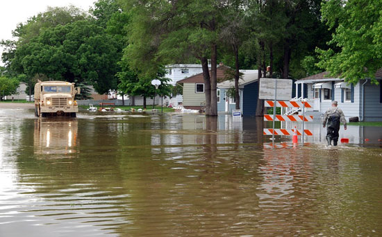


Is there any environmental and social impacts of these instruments/sensor based water level recorder?