New satellite technology helps track Australia’s blue-green algae
0
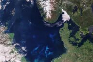
Example of a heat map produced by a Blue Water Satellite, depicting phosphorus concentrations in Western Lake Erie.
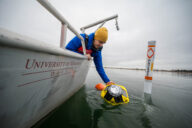
Hiding within Australia’s picturesque coastal areas are enormous blooms of cyanobacteria. The blue-green algae have plagued the nation’s coasts for years, thanks to eutrophication, still waters, and the hot Australian sun. But new GIS surveying technology will now make tracking the blooms much more efficient.
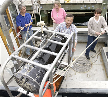
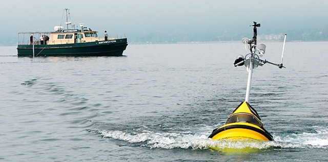
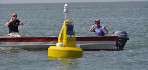
A satellite from Bowling Green-based company Blue Water Satellite processes raw data from two Landsat USGS satellites using proprietary algorithms. The system combs every pixel of an area for signs of toxic algae activity. The technology relies on identifying the levels of total phosphorescence of every single pixel of a scanned image.
Dramatic heat-map like pictures are produced, allowing researchers to focus on areas that contain high levels of contamination. Using total phosphorescence, researchers are able to see measurements of chlorophyll-a, cyanobacteria, and phosphorous in the water and even surface soils.
Previous attempts to monitor the cyanobacteria have seen success, but the processes used were not aggressive enough, Jim Harpen, manager of business development and collaborations for Blue Water Satellite, told Storm Water Solutions.
“They’ve been testing for cyanobacteria in Australia for years, but all they’d been doing was taking a few liters of water and sending them to labs for analysis,” Harpen said. He added the spot sampling method did not do enough to determine the location and drift of a body of water over thousands of acres in size and simply expanding the number of spot sampling sites would be impractical. Harpen said he hopes the Blue Water Satellite will be the answer to this large-scale sampling problem.
Toxic algal blooms – a sign of rivers under stress [Australian Academy
of Science]
What are Harmful Algae? [IOC of UNESCO]
Blue Water Satellite Inc. Wins Contract to Seek Out Toxic Algae in Australia [Storm Water Solutions]
Image Credit: http://www.bluewatersatellite.com/