• News
  • Lake Facts
  • About

Lake Scientist

Lake Ontario Project Aims To Pump Algae Away From Beachgoers

1
  • by Daniel Kelly
  • — July 23, 2014

For Lake Ontario beachgoers in Monroe County, New York, algae has been a recurring problem, according to the Democrat & Chronicle. So much so that Ontario Beach Park there can be routinely closed during summer months when algal blooms in the Great Lakes are prevalent.

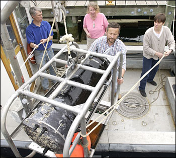
But a new project may give tourists more days at the beach if it’s successful. Monroe County, after considering recommendations from the U.S. Army Corps of Engineers, plans to build an intake and pump system that could clear up water near shore.

Lake-Ontario-Sandbanks-Provincial-Park

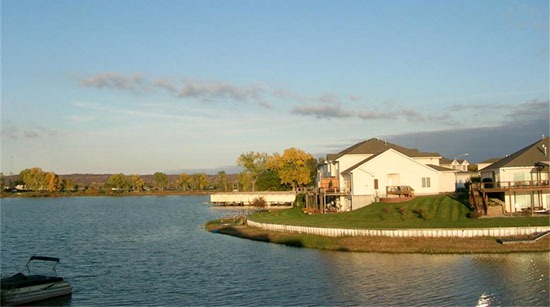
Sandbanks Provincial Park on Lake Ontario. (Credit: C. Loser via Wikimedia Commons)

Essentially, an intake pipe built into a pier will suck in algae making its way toward shore. From there, the slime will be pumped to where the Genesee River empties into Lake Ontario and hopefully then carried out and away from swimming areas.

Ontario Beach Park is a massive beachfront area and an important tourist attraction. If the algae-reduction project is successful there, perhaps similar works will be implemented at other algae-stricken beaches in the Great Lakes.

Genesee-River-as-it-flows-through-a-race-at-High-Falls

The Genesee River as it flows through High Falls, New York. (Credit: Daniel Penfield via Wikimedia Commons)

According to the county’s website, the project was first recommended in 2011 and will be funded by a $400,000 grant from the New York State Department of Environmental Conservation. It is expected to be completed in August 2014.

Share

You may also like...

  • Underwater microscope prevents shellfish poisoning
  • Iowa DNR begins restocking Carter Lake
  • Noise guns and mesh fence to help in fight against Asian carp
  • Climate change could worsen Ohio’s blue-green algae problem, increase floods

1 Comment

  1. Ann S says:
    July 30, 2014 at 9:36 AM

    The picture of the Genessee Ricer running through High Falls is slightly inaccurate. That is a picture Brown’s Race which was part of the old aquaduct system the city used to have. The actual river is on the east side of these buildings and farther below.

    Reply

Leave a Reply Cancel reply

Your email address will not be published. Required fields are marked *

Time limit is exhausted. Please reload CAPTCHA.

BUY AT FONDRIEST.COM
New NexSens XB200 Data Buoy
  • Recent Posts

    • Carbon and Nutrient Monitoring in the Great Lakes Using Satellite ObservationsJune 11, 2025
    • Craig Hill places the Spotter Buoy into Lake Superior near Park Point Beach in Duluth, MN.Research Brief: Evaluating Wave Energy Availability in the Great Lakes and Blue Economy Opportunities June 9, 2025
    • Restoring North Texas Streams to Historical FlowsJune 9, 2025
    • Wind surfing on Lake Michigan.Research Brief: Evaluating ICESat-2 Performance in Wave Height PredictionsJune 2, 2025
    • Research Brief: Monitoring and Predicting CyanoHABs using Sentinel-3 OLCI Satellite ImageryMay 26, 2025
  • Popular Tags

    Great Lakes research summary research research brief pollution Lake Erie Algae invasive species Product Spotlight climate change lake research lake science runoff nutrient-loading Lake Michigan international dissolved oxygen temperature Ohio eutrophication EPA toxic waters ice phosphorus blue-green algae

©2025 Fondriest Environmental Inc. | Questions? Call 888.426.2151 or email customercare@fondriest.com