Alaska North Slope Water Quality Monitoring
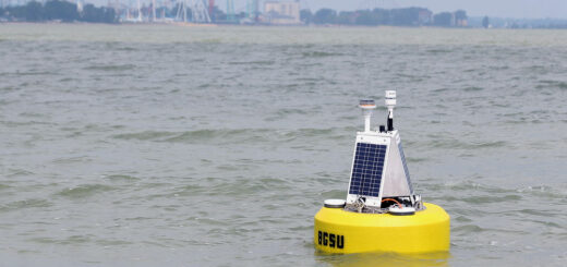
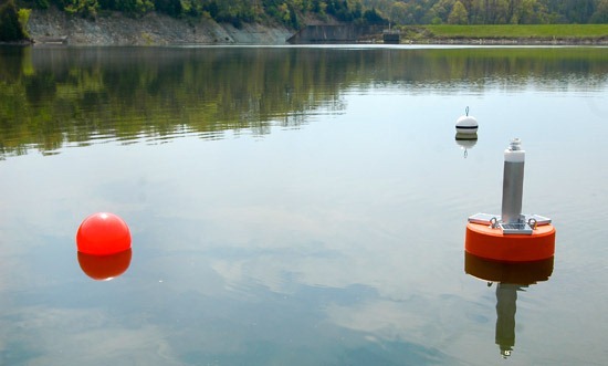
0The University of Michigan’s Marine Hydrodynamics Laboratories, in partnership with Michigan Technological University, have designed and fabricated two prototype ALWAS (Automated Lagrangian Water Quality Assessment System) buoys.
The buoys have three propulsion modes: drift with current, wind power (sail), and radio-controlled jet drive. Each buoy contains a YSI multi-probe sensor package for measuring temperature, conductivity, salinity, TDS, turbidity, pH, ORP,
DO, nitrates, and chlorophyll. The buoys also house an acoustic depth sensor and a GPS to record the time, position, and the full navigation suite at user-selectable time integrals. The data collected is both stored internally and transmitted in real time via spread-spectrum radio link. All ALWAS buoy data is instantly GIS compatible.
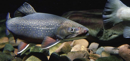
This past summer, the buoys were rigorously field tested in Alaska, while providing valuable data for two distinct projects. At the terminus of the Bering Glacier in southwest Alaska, ALWAS was deployed in 11 separate locations in Vitus and Berg Lakes, as well as the Seal River, where the free-floating buoys were used to characterize water quality and movement. The data collected helped researchers better understand how changes in the glacier’s hydrologic balance affect the ecological environment. This determines the habitat of the flora and fauna that defines the unique ecology of the region.
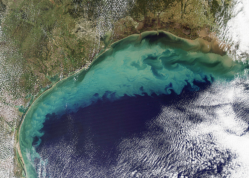
In collaboration with the Bureau of Land Management,Department of Energy, ConocoPhillips, and the North Slope Science Initiative, the buoys were also deployed in 16 surface lakes and the Coleville River located in North Slope, AK. The buoys were deployed by helicopter on the upwind area of the surface lakes and allowed to sail downwind, where they were later retrieved. This method allowed for data collection over a distance of 75 miles in just a few days. The data help determine the impact of the construction and usage of ice roads on the surface tundra lakes of the Alaska North Slope.