When An Arctic Lake Becomes Land
0What leads lakes to become land? In some cases, eutrophication fills them in. In others, water level plays a role. That was the case for an Alaskan lake that converted to open earth in the middle of 2014.

The dining hall at Toolik Field Station. (Credit: Flickr User D. Sikes via Creative Commons 2.0)
Scientists with the University of Alaska and the U.S. Geological Survey captured the switch a full six years before they predicted it would happen, according to the Alaska Dispatch News. Its draining is not unlike others that have occurred in the area, near the shore of the Beaufort Sea. But the circumstances of its demise are still somewhat novel.
Just the fact that someone was around to capture the lake’s drainage is neat, as most north Alaskan lakes fill and empty without much fanfare. In addition, instead of draining to the sea through some underground channel, scientists found that the lake owed its changes to the combination of rising water levels and shoreline erosion.

Chris Arp takes water quality measurements with a YSI sonde. (Credit: Guido Grosse)
Benjamin Jones, a research geographer at the USGS’ Alaska Science Center, and Chris Arp, an assistant research professor at University of Alaska, Fairbanks, led the work.
“Jones and Arp write that heavy winter snowfalls and early summer rains pushed up the water level until the lake cut its bank,” writes Ned Rozell, in the Alaska Dispatch News. “The water that ran to the sea eroded and thawed an ice-wedge network, forming a channel six feet deep.”

The Circum-Arctic Lakes Observation Network crew A team stops for a photo before getting back to Toolik Field Station. (Credit: Ned Rozell)
The research suggests that lake drainage in the area – though it has been common in the past – may get more common in the future. This is because snow is not falling as heavily as it once did and ice cover that typically shielded lakes there is getting thinner.
To predict the likelihood of increased lake drainage in the region, as well as the impacts it could have, scientists are heading back to the Toolik Field Station in early April 2015. Their travels, which are supported by the National Science Foundation, can be followed on the Circum-Arctic Lakes Observation Network blog.
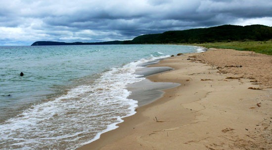
Featured Image: Lake Betty, Adak Island, Alaska. (Credit: Flickr User Paxson Woelber via Creative Commons 2.0)