• News
  • Lake Facts
  • About

Lake Scientist

Tagged: USGS

    • — September 10, 2010

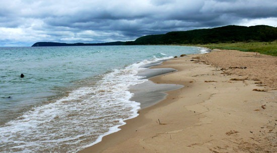
    Ocean current models help track Lake Michigan beach bacteria

    The U.S. Geological Survey and Michigan State University are using ocean current models to predict and identify transport patterns of fecal bacteria around beaches in southern Lake Michigan. The project’s[…]

    Read more
    • — July 26, 2010

    Satellite tracking of loons will assist avian botulism study

    The U.S. Geological Survey is using satellite transmitters to track loons over the Great Lakes and learn more about the spread of avian botulism. The large black and white, fish-eating[…]

    Read more
Page 7 of 7« First«...34567
BUY AT FONDRIEST.COM
New NexSens XB200 Data Buoy
  • Recent Posts

    • Monitoring New Hampshire’s Aquatic Ecosystems: Continuous Data Collection in the Lamprey River WatershedJune 30, 2025
    • Sign indicating an "idle speed" or "o-wake zone for boaters on the St. Johns River in Astor, Florida, USA.Research Brief: Evaluating the Efficacy of No-Wake Zone PoliciesJune 30, 2025
    • Eddy covariance sensors on top of tripod.Research Brief: Measuring Lake Superior Evaporation with an Eddy Covariance System at Stannard Rock LighthouseJune 23, 2025
    • Wave-Powered Buoy Deployed in Puget SoundJune 23, 2025
    • Long-Term Monitoring in the Chautauqua Lake WatershedJune 18, 2025
  • Popular Tags

    Great Lakes research summary research research brief pollution Lake Erie Algae invasive species Product Spotlight lake research lake science climate change runoff nutrient-loading Lake Michigan dissolved oxygen international temperature Ohio eutrophication EPA toxic waters ice phosphorus blue-green algae

©2025 Fondriest Environmental Inc. | Questions? Call 888.426.2151 or email customercare@fondriest.com