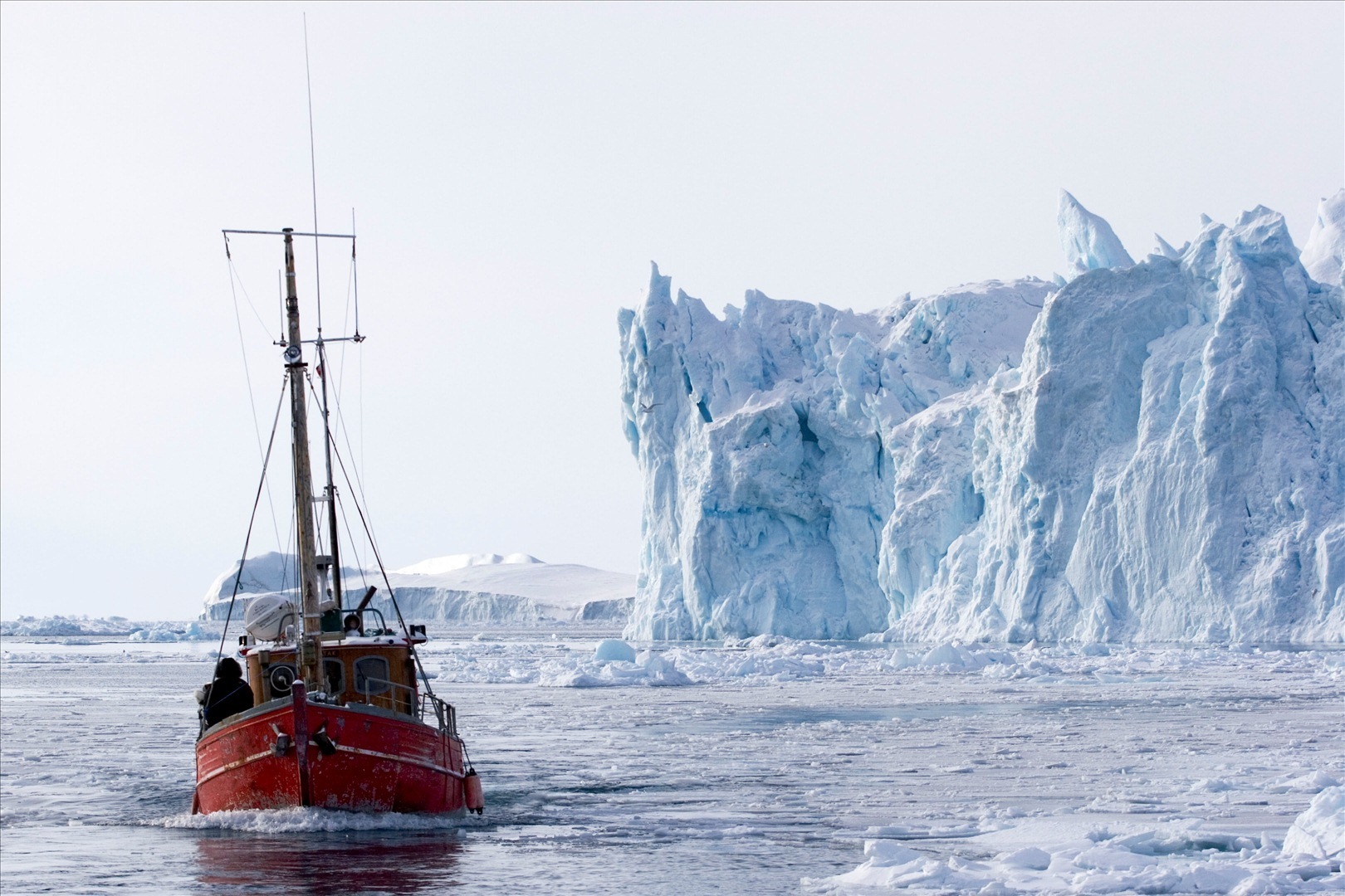
Buffalo State’s Great Lakes Center monitors ice from beneath
0
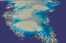
Ice covering the Great Lakes
With aid from the Buffalo Police Underwater Recovery Unit and Buffalo Fire Department’s fireboat, the “Edward M. Cotter,” researchers from Buffalo State’s Great Lakes Center have deployed the first in a series of monitoring systems intended to profile Lake Erie’s icy waters from beneath.
The project is funded by a $972,583 grant from the Environmental Protection Agency’s Great Lakes National Program Office.
“Most of the money is being used to purchase aquatic and meteorological data-collection equipment,” said principal investigator Charlotte Roehm, a biogeochemist and hydrologist.
Ultimately there will be three stationary buoys deployed and monitoring in the spring. However, as Roehm notes, this winter’s deployment is only a test run. Once the costly monitoring equipment proves capable of surviving the extreme Lake Erie winter, the team can move forward to deploy the remaining buoy systems.
Each buoy is designed to test for 23 parameters, including ice thickness, wave characterization, and current. Other more common parameters include temperature, oxygen levels, pH, dissolved organic matter, turbidity, chlorophyll, and blue-green algae. When combined and evaluated, these parameters will allow researches to make lake water quality assessments.
In addition to the three stationary monitoring buoys, a mobile device fitted with identical equipment will make its rounds over a larger area to collect additional lake profiling data. From depths of almost 50 feet, the equipment will collect and transmit real-time data every 10 minutes, all day, during the summer and winter. The project has funding for two years, but Roehm said he hopes to collect data for at least 10 years.
The goal of the project is to increase scientists’ understanding of the lake, which will in turn allow them to maintain Lake Erie’s water quality and bio diversity. Researches already recognize the lake is changing in harmful ways, with anoxic “dead zones” becoming a recurring phenomenon.
The Clean Water Act of 1972 limits the types of pollutants that can be discharged into the Great Lakes. Among the pollutants listed is the nutrient phosphorous, which is commonly used as a fertilizer and is a heavy contributor of the anoxic “dead zones”. Despite the act reducing the levels of pollution discharged into the lakes, Lake Erie is still not a thriving ecosystem.
Scientists have postulated that invasive species, climate change, and excessive nutrients are all contributors to the disruption of the lake’s ecosystem. Moreover, it has been suggested that the restrictions set in place in 1972 were based on the limited science of the time. Since then, a great deal of knowledge, testing, and the advent of computer modeling have changed researchers’ understanding of lake ecosystems.
The data collected by the monitoring systems will include physical, chemical, and biological parameters. The real-time and long-term nature of the data will provide new insight into the conditions within the lake and discharges from the watershed, which scientists hope will help them to prioritize further research. In addition, meteorological data is being collected and fed to the National Weather Service to aid its forecasting models.
By spring, when all three buoys are deployed, two will be placed in a federally designated “area of concern” near Buffalo River and Ashtabula Creek. These are places where pollution prohibits use of the water for fishing, drinking, recreation, and other activities identified by the EPA. The third buoy will be placed near Cattaraugus Creek.
A Field Station live feed can be viewed on the university website. As summer approaches, data will be available via the Web and will also be provided to lake managers.
Lake Erie Study Launched Successfully [Buffalo State College] Image Credit: http://earthobservatory.nasa.gov/images/imagerecords/3000/3280/GreatLakes.TMOA2003068_lrg.jpg