Great Lakes Wind Atlas May Aid Clean Energy Development
0Though wind energy exploration onshore is cheaper for energy companies, a new wind tracking atlas may make developing offshore wind energy in the Great Lakes more likely in the future. That’s because the tool could make it easier for energy companies to find where they should build wind turbines to turn a profit.
The tool was put together by scientists at Cornell University and the Technical University of Denmark. The researchers relied on data available from weather stations and buoys around the Great Lakes in the work. In addition, data on wind speed and direction were sourced from NASA’s QuikSCAT satellite and others in space that have synthetic aperture radar.
“The techniques that we have employed optimize the strengths of each measurement type, allowing a long time series of data to be combined with the exceptional spatial resolution of the satellites – corrected for gaps in data due to ice cover in the winter months – using a new algorithm,” said Paula Doubrawa, a Cornell doctoral candidate in the field of engineering and lead author of a paper on the work, in a statement.
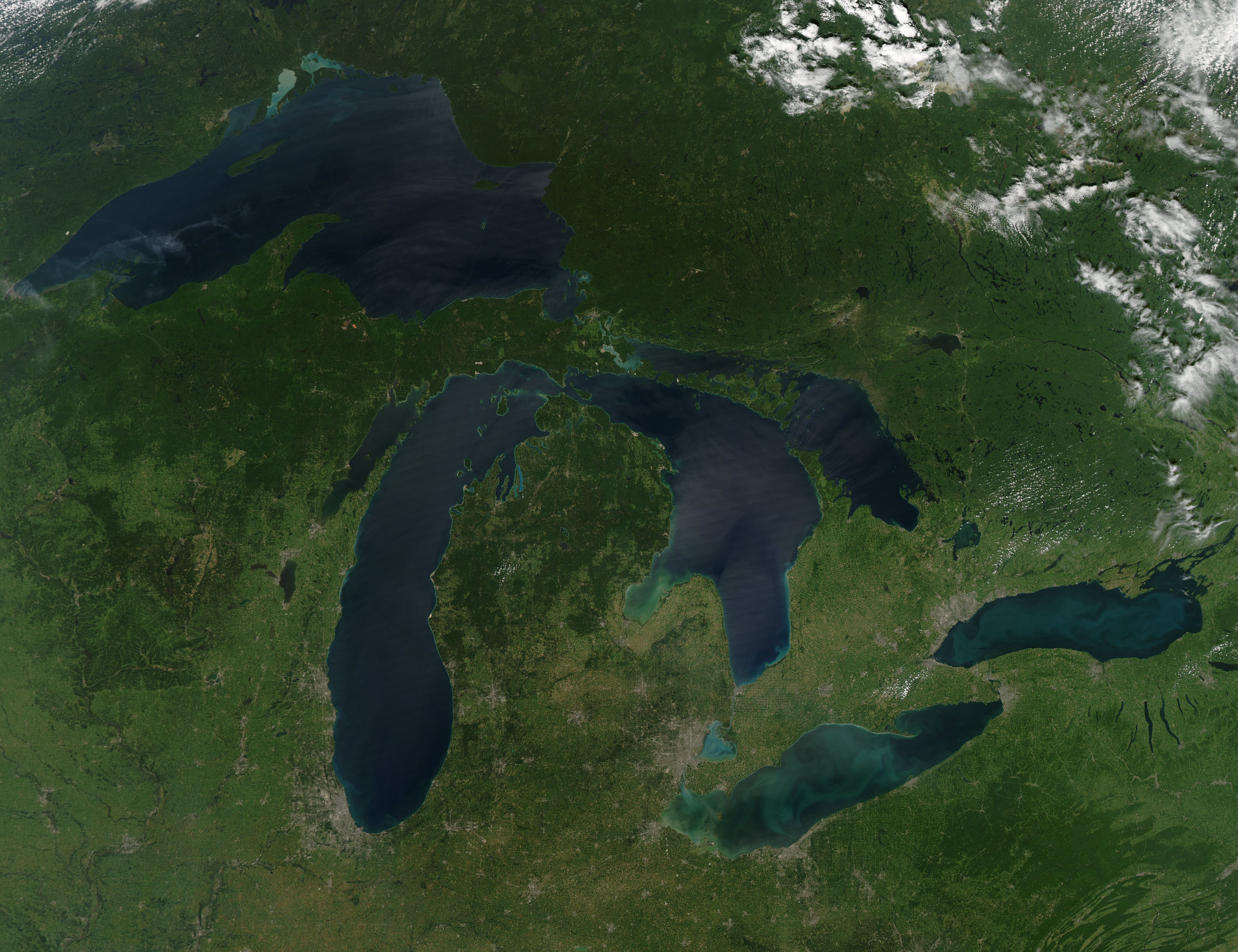
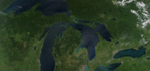
The Great Lakes. (Credit: NASA)
Doubrawa says that it wasn’t easy to amass all the data needed for the atlas because wind resources are hard to quantify. At times, there is also a lack of data to consider. Ice formation during the winter months means that buoys are removed from the lakes and satellites can’t always accurately measure wind. These restrictions are in addition to sparse offshore observations by satellites that may not be available in the right location or at the right time.
“The compilation and analysis of these datasets is very time-consuming – and now the work has been done,” said Rebecca Barthelmie, professor of engineering at Cornell, in the release. “Assembling this atlas and this kind of work helps agencies that plan wind farms or manage where wind farms will be located by identifying optimal locations.”
The information can be used in concert with mapping tools, like geographic information system databases, to chart out the best spots to minimize obstruction to things like shipping lanes and recreation while optimizing wind generation, Barthelmie says.

Paula Doubrawa at the National Renewable Energy Laboratory’s Wind Technology Center in Colorado. (Credit: Cornell University)
Of course, wind farms in the middle of the Great Lakes aren’t going to happen any time soon. And wind energy experts still believe that most of the action will happen in onshore areas where there are fewer considerations for energy companies to manage.
“If you’re talking about a private energy provider or a utility company, they’re probably going to look to onshore wind production,” said John Sarver, president of the Great Lakes Renewable Energy Association, to the Great Lakes Echo. “It’s much cheaper to invest in an onshore wind farm.”
But, the wind atlas helps advance toward a future where such offshore wind energy could become more economical, Sarver says.
Full results of the work to develop the wind atlas are published in the scientific journal Remote Sensing of Environment.
Are you a fan of renewable energy? What do you think about offshore wind farms in the Great Lakes? Please leave a comment and share your thoughts.