Research Brief: The Development of Lake-/Sea-Effect Snowstorm Forecasting
0Snowstorms can have devastating impacts and effects on towns and cities as snowfall leads to unsafe road conditions and future runoff events that will likely carry contaminants like road salt or pollutants. Poor road conditions can lead to multi-vehicle collisions or isolated crashes that lead to the loss of life. Contaminants like road salt can change water chemistry in surrounding waterways and harm fish and other aquatic life.
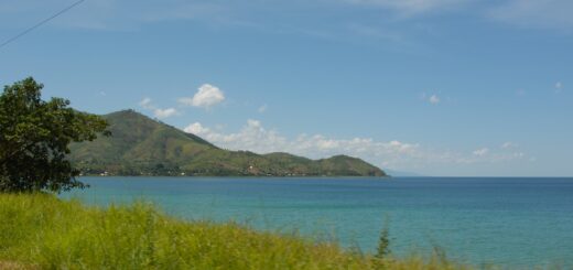
A lake-/sea-effect snowstorm can be particularly influential as these events tend to be more severe. Occurring most often from late fall to winter, when air mass moves over warmer surface water and absorbs significant amounts of heat and moisture, leading to snowfall downwind. Since the phenomenon is influenced by both lake and sea atmosphere processes, these effects can be found across the globe.
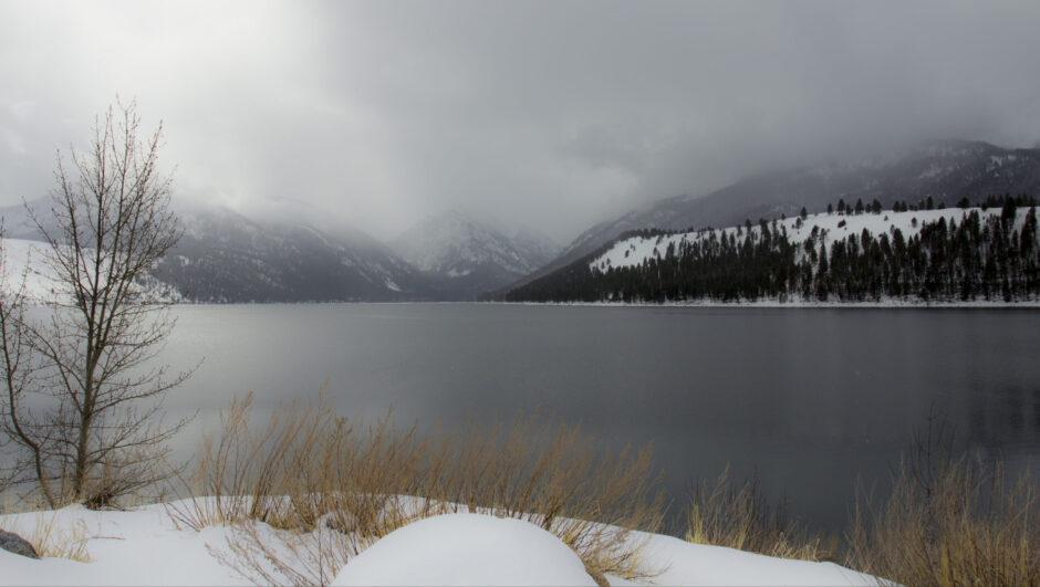
Snowstorm moving across Wallowa Lake, Oregon. (Credit: Bonnie Moreland via Flickr Public Domain)
Forecasting these events can be extremely challenging, but the impacts of such storms make them an important process to study and understand. A 2022 study published in WIREs Water overviews the mechanics of lake-/sea-effect snow occurrence, including the morphologies of snow band formation, the evolution of forecasting techniques and challenges to consider in the future.
Morphologies of Snow Band Formation
Lake-/sea-effect snowstorms form as a result of continental air moving over relatively warmer water (inland or marine) and carries precipitation downwind. The difference in temperature between the air and surface water leads to evaporation and heat supply from the water surface into the air mass.
Depending on several environmental conditions, four cloud formation types are possible. The four morphologies “represent the main dynamical formation present in these types of events.”1
- Widespread, wind-parallel bands: An area of widespread coverage of cloud cover and snowfall where the bands typically occur parallel to wind flow. Predominantly formed from having short fetch over the water, usually along the minor axis of the lake.
- Shoreline or mid-lake bands: Larger in distance and horizontal scale than the wind-parallel bands. Formed over the major axis of the lake, leading to larger fetches over open waters and thus higher precipitation amounts.
- Mesoscale vortices: Occur relatively close to the center of open water with calm wind speeds. Usually formed from a convergence of several land breezes, these vortices have several distinct bands and clear cyclonic rotation.
- Transverse or T-mode snow bands: Typically observed in between the longitudinal, wind-parallel bands (L-mode) north and south and leads to snow bands perpendicular to the wind direction.
How Snowstorm Forecasting Has Evolved
Forecasting snowfall techniques have changed over time as technology has developed. From primarily observation-based techniques to newer climate models and real-time monitoring systems, forecasting techniques have evolved over the years.
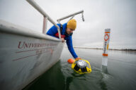
Much like the older and more traditional means of monitoring, even these newer techniques have limitations when used in isolation. For example, data buoys can be deployed in the spring, summer and fall but generally have to be removed in the winter.
Land and water-based systems can be paired to help bridge these data gaps. Additionally, further developing environmental monitoring technology will allow numerical models to become more accurate in predicting precipitation events. Both methods are critical to meteorological monitoring and creating better mitigation strategies to protect life during the winter.
Sources
- Fujisaki-Manome, A., Wright, D. M., Mann, G. E., Anderson, E. J., Chu, P., Jablonowski, C., & Benjamin, S. G. (2022). Forecasting lake-/sea-effect snowstorms, advancement, and challenges. WIREs Water, 9( 4), e1594. https://doi.org/10.1002/wat2.1594