Research Brief: Evaluating ICESat-2 Performance in Wave Height Predictions
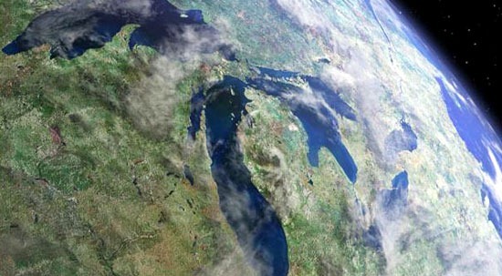
0Wave conditions shape ecosystems, playing a critical role in thermal structure and dynamics and other lake processes. In large lake environments like the Great Lakes, large waves and surges from storm events can pose threats to coastal communities and make maritime recreation unsafe. As a result, wave monitoring is conducted year-round, relying on data buoys during the spring, summer, and fall, and satellite observations like those from the Inland Water Surface Height product of the Ice, Cloud, and Land Elevation Satellite-2 (ICESat-2) in the winter.
Numerical wave models are commonly used to predict wave height and direction in the Great Lakes, informing lake recreation and the risk to coastal communities during storm events. These predictions are verified using surface buoys that measure wave conditions. However, many of these buoys are removed during the winter to prevent damage to the instruments, leaving data gaps during this part of the year. Data from ICESat-2 is used to fill these gaps.
A 2024 study published in Remote Sensing sought to evaluate the data quality of ICESat-2 by comparing it to buoy observations. Data from both the buoys and the satellite were then put into NOAA’s Great Lakes Waves-Unstructured Forecast System version 2.0 (GLWUv2) to assess model quality.1 The leading goal of the study is to examine the best available model estimates for significant wave height in the Great Lakes.
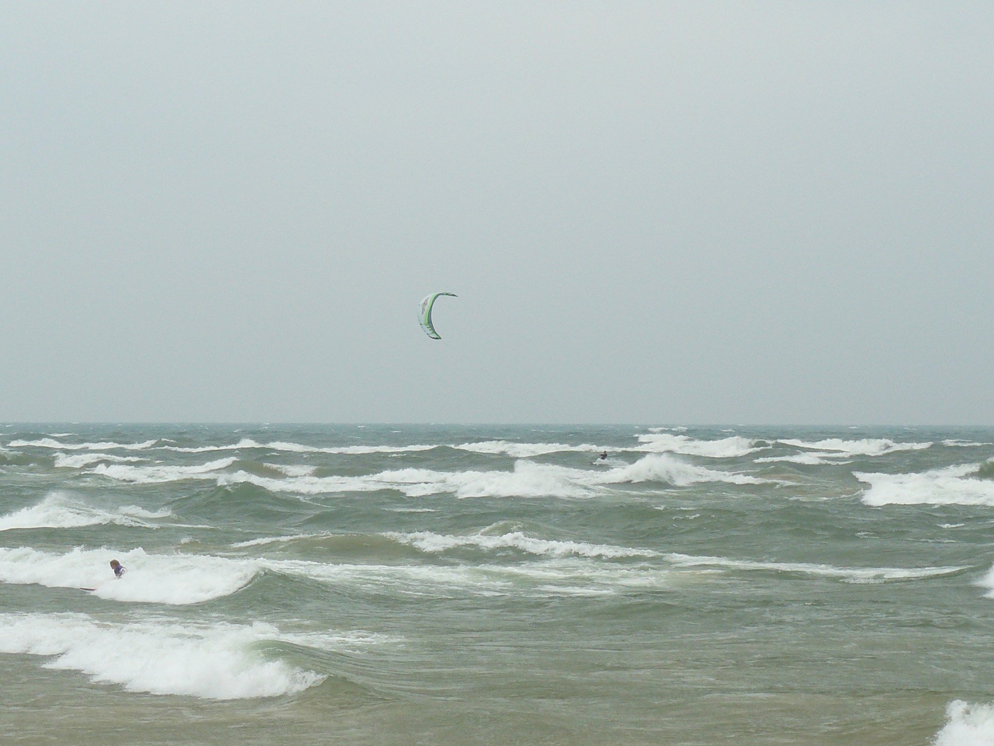
Wind surfing on Lake Michigan. (Credit: NOAA / OAR / Great Lakes Environmental Research Laboratory via Flickr CC BY 2.0)
Methods
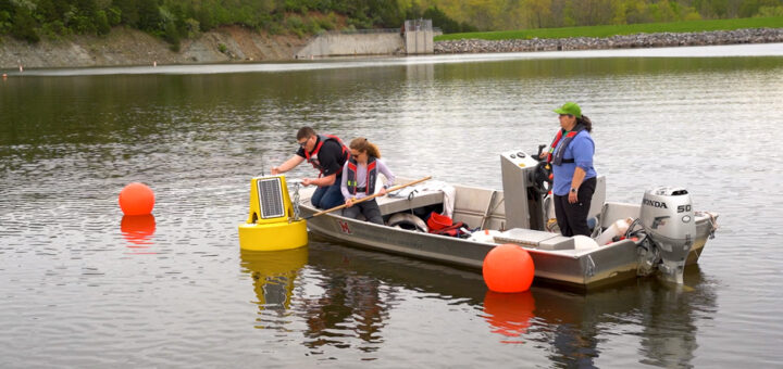
The quality of the ICESat-2 wave height data in the Great Lakes region was compared to regular buoy measurements sourced from the National Data Buoy Center (NDBC) and Seagull Great Lakes Observing System (GLOS) from April 2021 to December 2021 and May 2022 to October 2022.
Low-cost Spotter buoys were deployed during the winter (10 to 18 February) and in order to assess the model quality of GLWUv2 by comparing its retrospective forecast simulations with ICESat-2 to the in-situ wave measurement recorded by the buoys. Both high and low wave scenarios were compared to identify any biases in the model.
Results
In the low-wave scenarios, the GLWUv2 predictions aligned well with the ICESat-2 measurements. However, under high wave scenarios, the model tended to overestimate significant wave height, a trend which was found to be consistent whether the satellite or buoy data was being compared.
The study concludes that ICESat-2’s measurements of significant wave heights align closely with regular buoy observations in the Great Lakes as a result of the spring-to-fall comparison with NDBC and GLOS measurements. Additionally, GLWUv2 is proficient in predicting wave heights below 1.5 m but sometimes tends to overestimate waves higher than that.
Verified utility of the ICESat-2 significant wave height observations will help to continue to bridge data gaps in the winter when data from the buoys are unavailable. Filling these gaps in the region is “critical for advancing our understanding of the Great Lakes’ wintertime limnology.”1
Source
- Li, Linfeng et al. (2024). Evaluation of ICESat-2 Significant Wave Height Data with Buoy Observations in the Great Lakes and Application in Examination of Wave Model Predictions. 16(4). https://doi.org/10.3390/rs16040679