Research Brief: Measuring Climate-Related Shifts in Lake Ecosystems
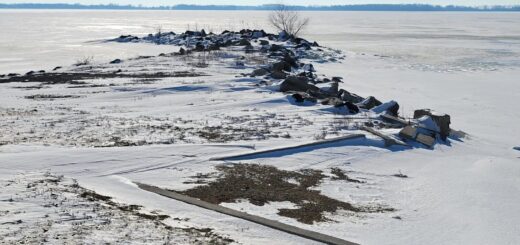
0Freshwater lakes experience climate-related shifts that can impact ecosystem services and have cascading ecological effects. Water availability, quality, and surface conditions (ice cover) can all shift based on climate conditions.
For example, increases in temperature can lead to spikes in harmful algal blooms (HABs), which in turn lead to hypoxia. Low dissolved oxygen impacts flora and fauna health and can lead to population losses and contribute to future blooms.
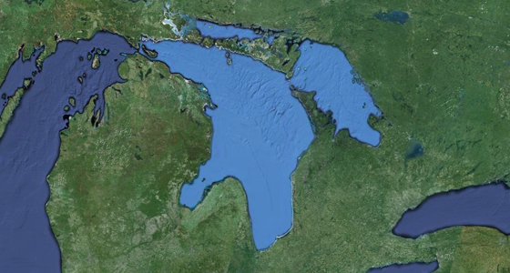
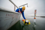
While climate-related shifts are known to impact water quality and marine environments, many monitoring efforts surrounding this involve sampling and modeling through satellite imagery (Earth Observation (EO)).
Though satellite measurements have the ability to capture a large area, the temporal resolution is limited as satellites are not always over the targeted region. Additionally, many water quality conditions must be extrapolated from other variables and may be less accurate compared to in situ measurements.
A 2024 study published in Limnology and Oceanography explored the role of earth observation in detecting and measuring climate-related lake shifts.1 The key research questions of the study were:
- How much has EO contributed to detecting and studying climate-related shifts in lake environments?
- In what ways has EO been used in previous climate-related lake studies?
- What are barriers to using EO for climate-related lake shift research?
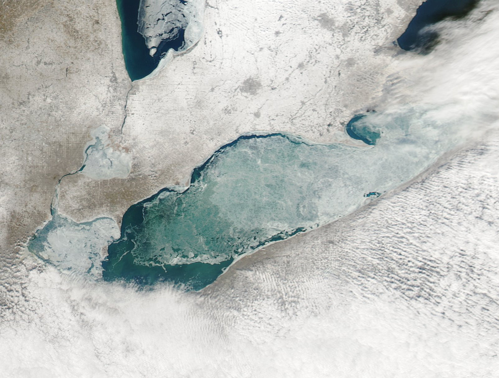
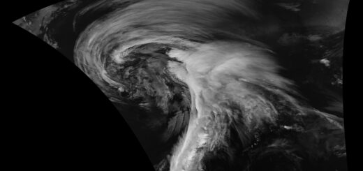
MODIS image of Lake Erie ice cover. February 6, 2009.
Methods
The study conducted a systematic review of existing scientific literature that reports on climate-related shifts. Then, the search was further refined to identify the methods used in the research, namely in situ measurements, paleolimnological analyses, modeling, and EO.
Next, the main shift feature reported in the study was identified, as well as the time window of analyses, the number of lakes studied, and the geographical location. The collected research was then clustered based on its relations.
Results
449 studies were identified from four different data sources. The largest pool of climate-shift studies utilized in situ data (>40%), which includes water samples, probe measurements, sediment samples, or fauna counts. The 2nd largest group uses paleolimnological data to detect lake shifts (> 30% of studies).1
The 3rd largest data pool contained lake studies that use modeling tools to detect and analyze lake shifts (18% of studies).1 Finally, EO was found to be the least represented data source (9%).
59% of the studies analyze physical shifts, 33% report biological shifts, and only 8% report chemical shifts. EO was represented in each of these studies at differing quantities.
For physical shifts, EO data have been used to study shifts in lake extent, ice cover, and mixing regime. Due to limitations in accuracy and precision, EO is rarely used for measuring climate-related shifts in chemical features like dissolved oxygen and stratification, with the exception of shifts in suspended particulate matter, which have been studied primarily using EO.
While climate-related shifts in physical features using EO data are more prevalent, the article notes there is great potential to expand satellite data collection to chemical shifts while bearing in mind the temporal limitations.
Source
- Calamita, E., Lever, J. J., Albergel, C., Woolway, R. I., & Odermatt, D. (2024). Detecting climate-related shifts in lakes: A review of the use of satellite Earth Observation. Limnology and Oceanography, 69(4), 723-741. https://doi.org/10.1002/lno.12498