


Research Brief: Evaluating the Efficacy of Satellite Imagery Driven Machine Learning Models in Measuring Cyanobacteria and DO Concentrations
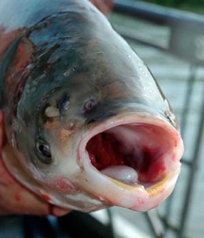
1As knowledge of harmful algal bloom (HABs) dynamics and their influence on human and animal life becomes better understood, research has continued to search for ways to monitor HABs more effectively. From satellite imagery to in-situ sampling, HABs can be monitored in a variety of ways.
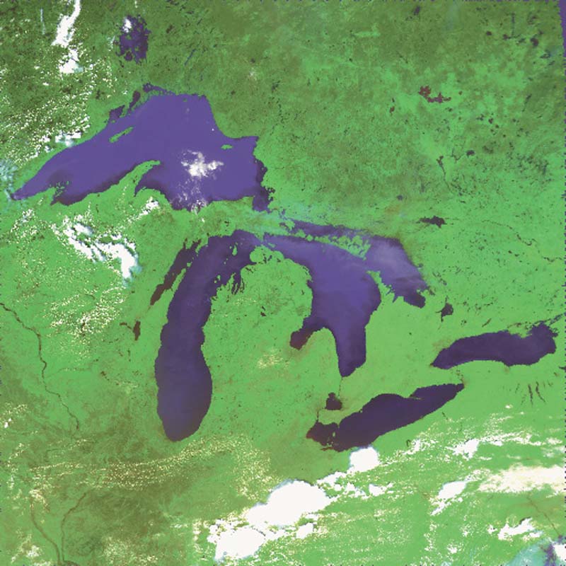
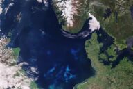
Color satellite photo produced from NOAA-14 AVHRR satellite imagery (channels 1, 2, and 4) collected on June 21, 1995 at 18:48 GMT (about 2:48 pm local time). (Credit: G. Leshkevich / GLERL via Flickr CC BY-SA 2.0)
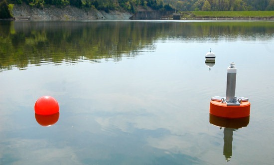
For example, data buoys are a common solution for monitoring HABs in a specific area in real-time. However, data buoys are typically stationary, limiting the spatial resolution of data. Instead, it’s easier to get a larger view of a water body from above.
Satellite imagery and monitoring techniques make it possible to observe blooms and other water quality conditions from above in a larger area. Of course, this technique is limited in precision, as parameters like dissolved oxygen are extracted indirectly based on blooms.
A 2024 study published in Water Resources Research developed models that use imagery from NASA’s Sentinel-2 and Sentinel-3 satellites to estimate the abundance of cyanobacteria versus green algae in Lake Mendota. The data was then input into a machine-learning model to extract estimates of dissolved oxygen concentrations and compared to in-situ measurements.1
The objectives of the study were two-fold:
- To evaluate the ability of Sentinel-2’s Multi Spectral Instrument (MSI) and Sentinel-3’s Ocean and Land Color Instrument (OLCI) to retrieve chlorophyll‐a, phycocyanin, and the phycocyanin: chlorophyll‐a ratio.
- To develop a novel machine‐learning based approach for indirect satellite‐based estimations of dissolved oxygen conditioned on algae pigment concentrations.
Methods
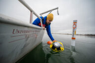
Sentinel 2’s MSI and Sentinel-3’s OLCI were evaluated against a YSI EXO3 sonde that measured chlorophyll‐a, phycocyanin, and dissolved oxygen concentrations in Lake Mendota during overpasses of the satellites from 2019 to 2022.
Sonde measurements were conducted at 35 locations across Lake Mendota over four summers, generating 671 data points in total.
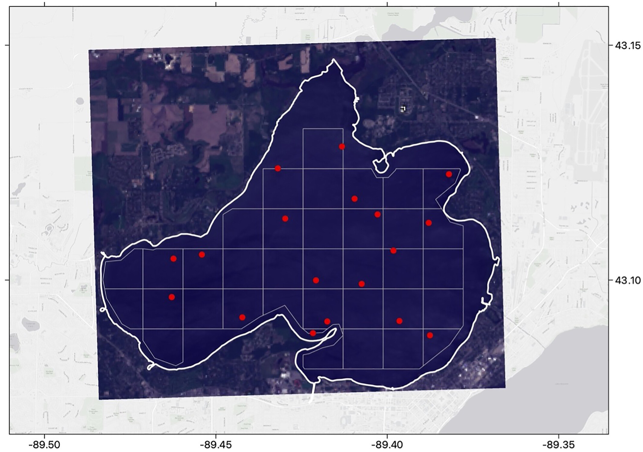
Lake Mendota sampling campaign on 2021-09-25 coinciding with a Sentinel-2 overpass. The Sentinel-2 image is pictured in real color at 60 m2 resolution. Red dots represent sample locations. (Beal et al., 2024)
Sentinel-2 overpasses coincided with 10 sampling dates between 2019 and 2022, totaling 206 points of in situ data for comparison with Sentinel‐2 MSI reflectance data. Sentinel 3 overpasses coincided with 11 sampling dates, totaling 161 points for comparison between the sonde and OLCI reflectance data.
Data from the satellites were inputted in both a random forest (RF) model and an artificial neural network (ANN) to evaluate which machine-learning model was most effective and accurate at retrieving chlorophyll‐a, phycocyanin, and the phycocyanin: chlorophyll‐a ratio.
For dissolved oxygen, the models were constructed using the in-situ data and satellite imagery to construct a model that allowed for dissolved oxygen to be extracted from algae pigment variables.
Results
The random forest model outperformed the artificial neural network in the retrieval of all parameters (chlorophyll‐a, phycocyanin, and dissolved oxygen), except for modeled phycocyanin based on Sentinel‐3.
Overall, the results of the study were promising, as satellite imagery allows large areas to be observed at once, effectively tracking the development of cyanobacterial blooms and informing management strategies for Lake Mendota.
Source
- W. Beal, M. R., Özdoğan, M., & Block, P. J. (2024). A Machine Learning and Remote Sensing-Based Model for Algae Pigment and Dissolved Oxygen Retrieval on a Small Inland Lake. Water Resources Research, 60(3), e2023WR035744. https://doi.org/10.1029/2023WR035744


[…] satellite measurements have the ability to capture a large area, the temporal resolution is limited as satellites are not always over the targeted region. Additionally, many water quality conditions […]